

Day 4: Keep It Hood
KEEP IT HOOD
Day 4: Today we would make our way along the Columbia River Gorge to Mt. Hood, Oregon’s highest peak, where we would spend the day hiking. We weren’t able to reserve a campsite within 50 miles of Mt. Hood; everything was pre-booked because of the Solar Eclipse being only a few days away. We had no other choice than to find a “safe” parking lot to sleep in, and truly embrace the freedom of homelessness.
CROWN POINT
It’s crazy how much of an impact scenery can make on a long road trip. I know that sounds like the worlds most basic statement- but hear me out. As someone who has lived most of their life in the Midwest, this “rest stop” is out of this world.
My car tolerance became exceptionally high on this trip, and it’s no wonder given we were driving on the “King of Roads”, aka Historic Columbia River Hwy.
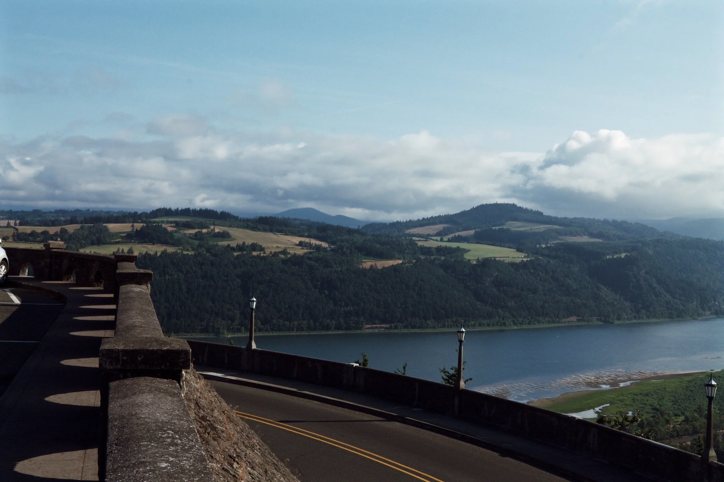
The most beautiful highway rest stop you’ll ever see is located along the Historic Columbia River Highway, off exit 22; The Vista House.
The Vista House is an Art Nouveau hexagonal stone building built in 1917. It serves as a museum, memorial, and rest stop that overlooks the Columbia Gorge at Crown Point. Looking out west from Crown Point, you can see the canyons and basalt cliffs that form Columbia River Gorge. This is where Washington borders Oregon.
Vista House, 40700 Historic Columbia River Hwy, Corbett, OR 97019
LATOURELL FALLS
Two miles down the road from the Vista House are the Latourell Falls. The contrast of the lime stone against the black rock reminded me a lot of Iceland!
Lateral Falls, Historic Columbia River Hwy, Corbett, OR 97019
Mt. Hood
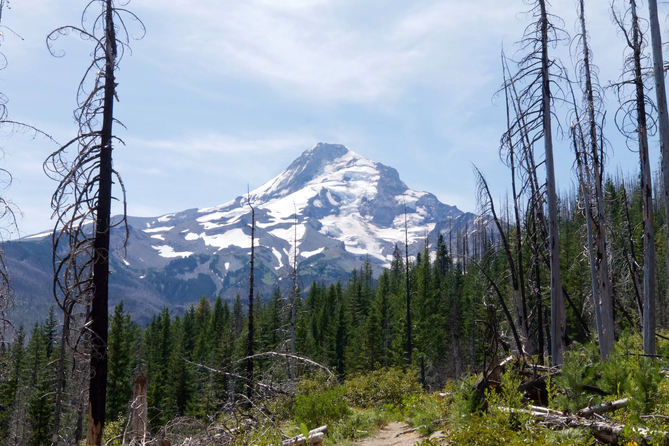
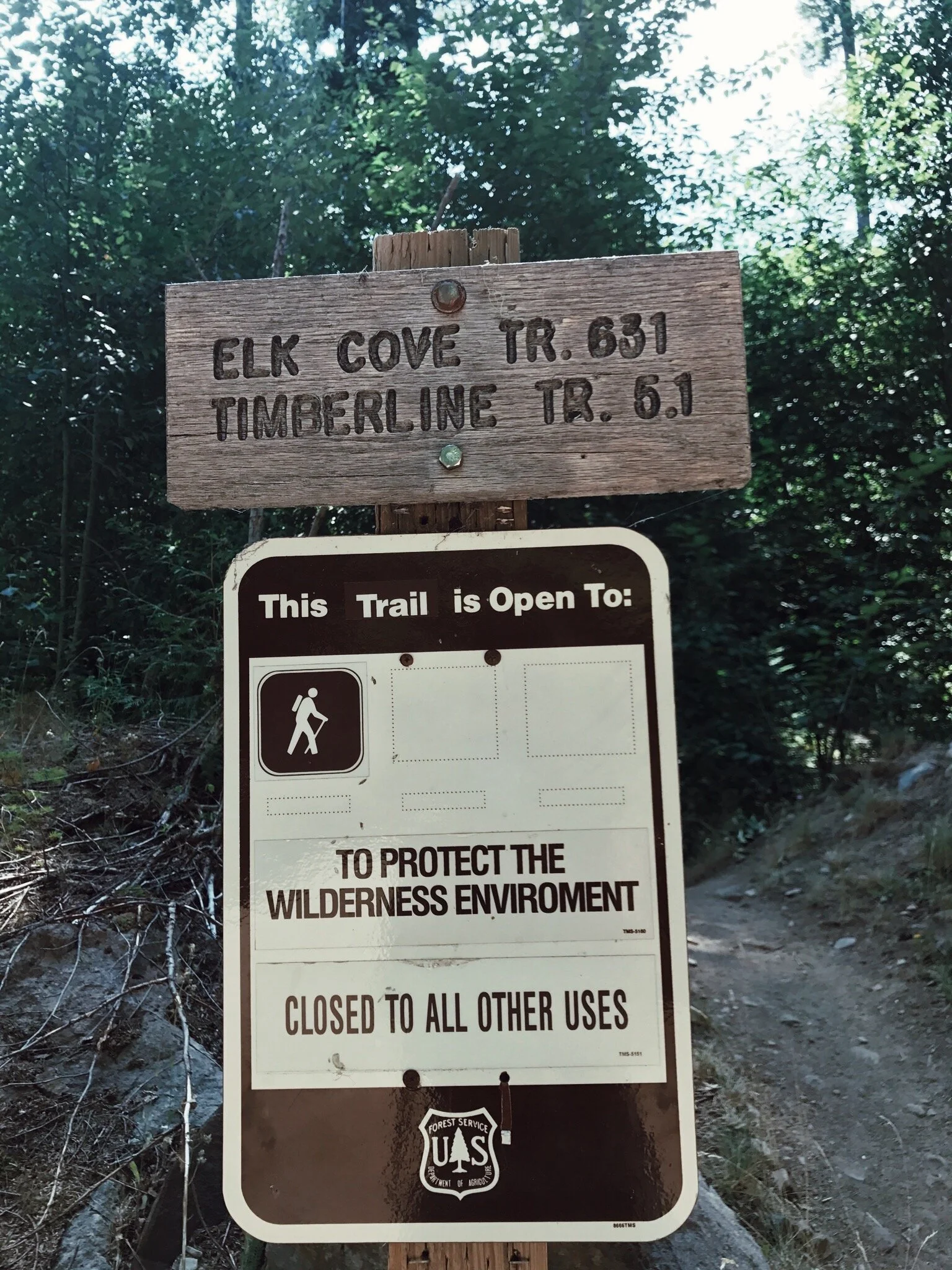
Oregon was hot, with temperatures around 92 degrees. Many fires were breaking out throughout the state causing forest and wilderness areas to be evacuated and shut down. On our way to hike Mt. Hood we stopped at the visitors center to grab additional trail maps. It was a good thing we did, as the hike I had planned for this day, and the next, were both closed due to these forest fires. Instead of the Paradise Park Loop Trail, we set out for the Elk Cove Trail, located on the northern side of Mt Hood.
ELK COVE TRAIL
10.2 MILE LOOP | ELEVATION GAIN: 2200 FEET | END POINT: ELK COVE | 6 HOURS | $5 PERMIT
Getting to Elk Cove Trail was tricky. Between the unmarked roads and lack of Siri capabilities, we found ourselves having to keep track of mileage based on the description of the trail guide. To get there, take 84 to 35 and head south to Mount Hood. After you pass the Ranger Station, take Laurence Lake Dr. to NF-2840. Before you turn on NF-2840, you’ll pass the Kinnikinnick Campground, where you can pay the $5 permit.
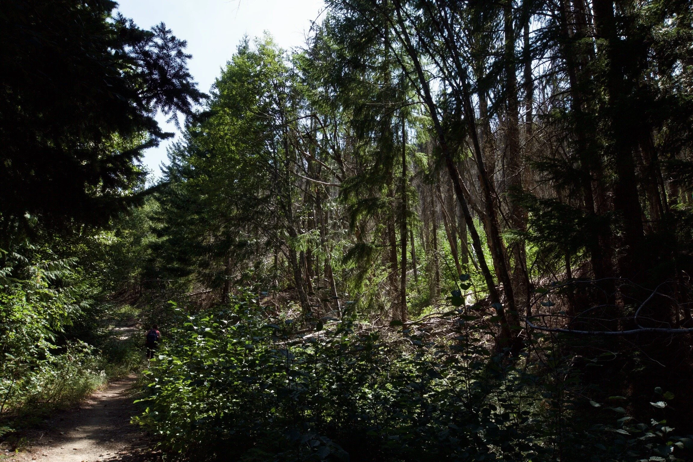
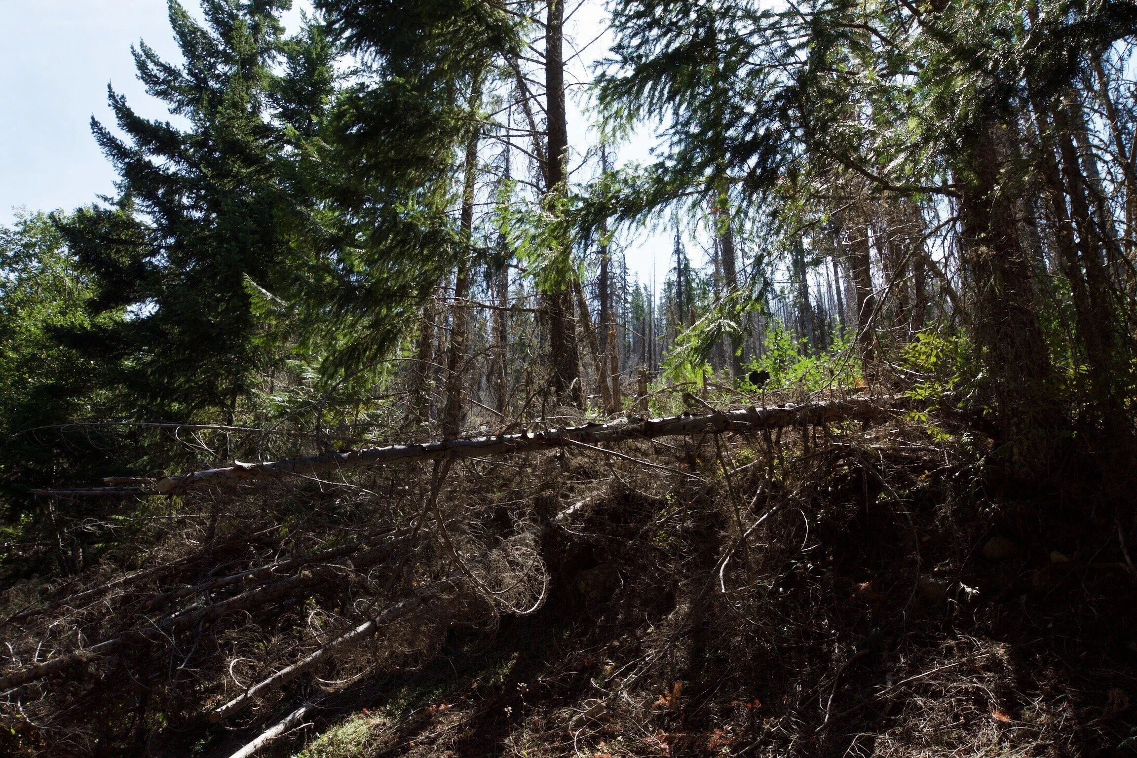
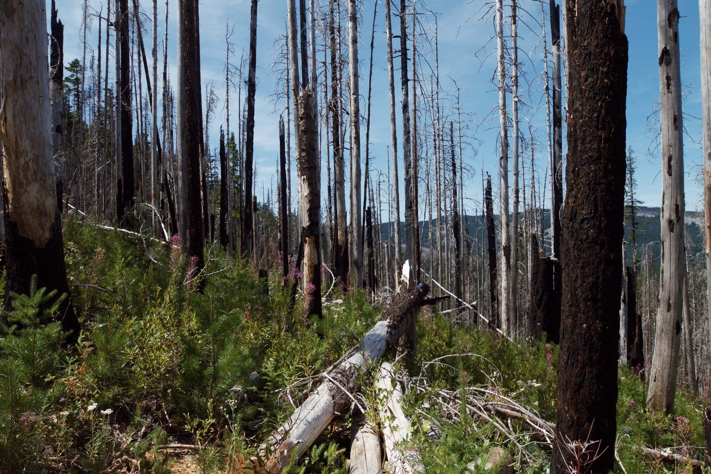
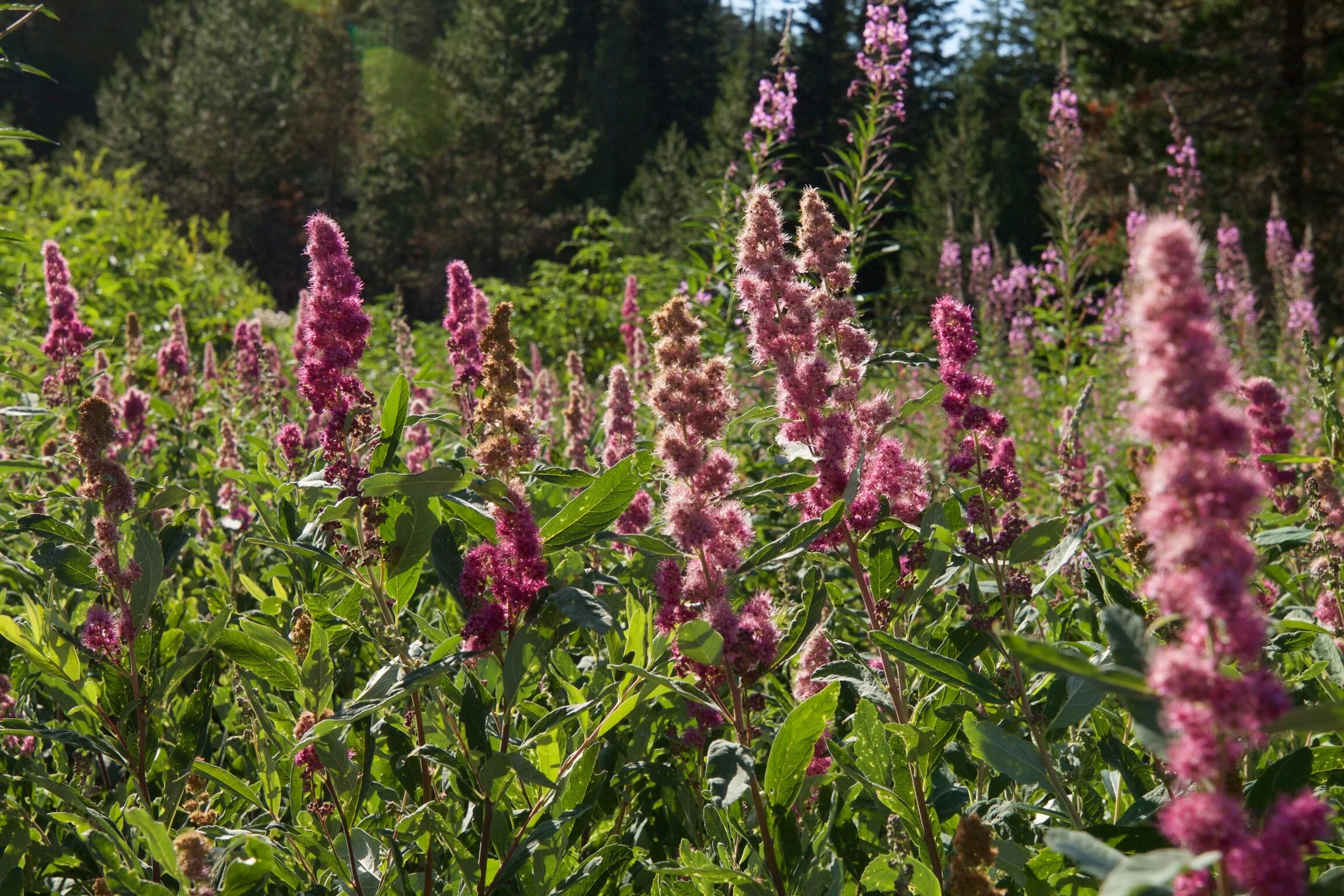
The hike begins under a dense canopy of lush trees and eventually leads to a recent fire area (2012 Dollar Lake fire) where a clearing of trees gives way to amazing views of Mt. Hood.
Here, the only green to be seen is on the ground, where new plants and flowers are starting to grow. The trail follows the ridge along the north side of Mt. Hood.
Fun facts about Mount Hood:
It’s the highest peak in Oregon
The second most climbed mountain in the world
The peak is surrounded by 11 glaciers
It’s technically a Stratovolcano (layers of lava and ash)
It has the only year-round ski resort in North America.
The peak of Mt. Hood is always covered with snow, as it never stops snowing. (Hence the year-round ski resort)
Mt. Hood
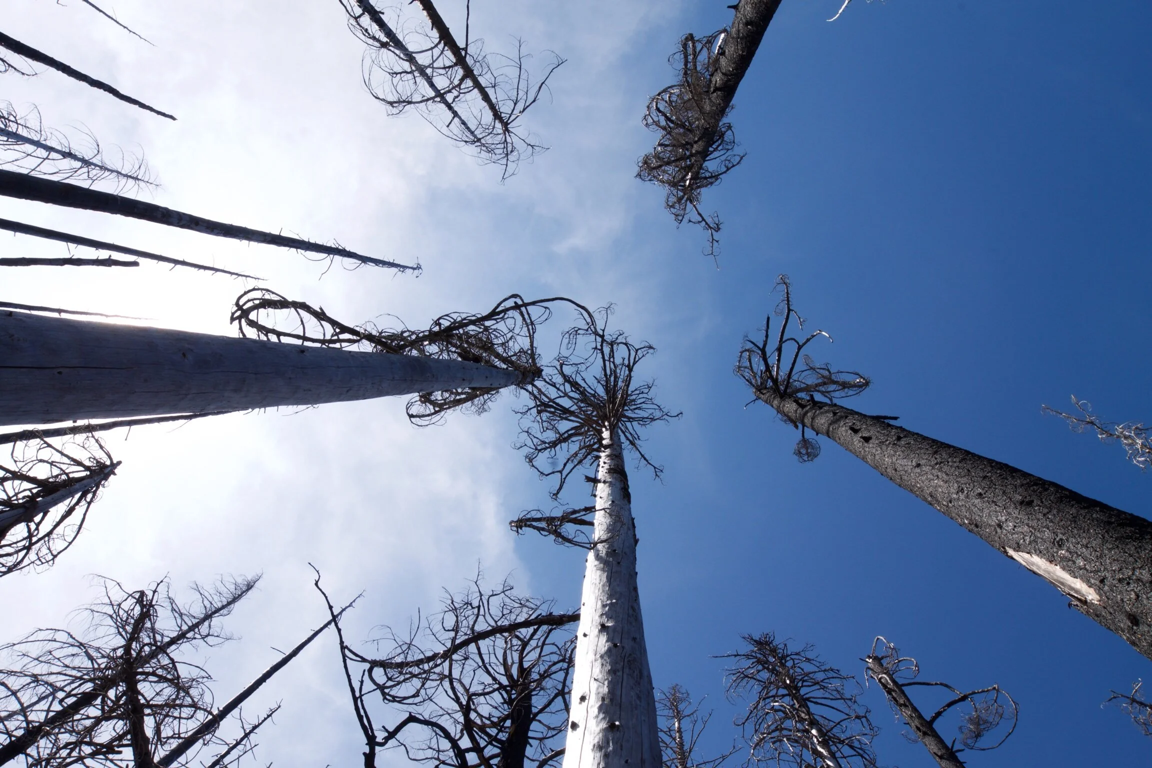
Mt. Hood could not be more different from Mt. Rainier. Here, the trees are like matchsticks; tall, bare, and charred.
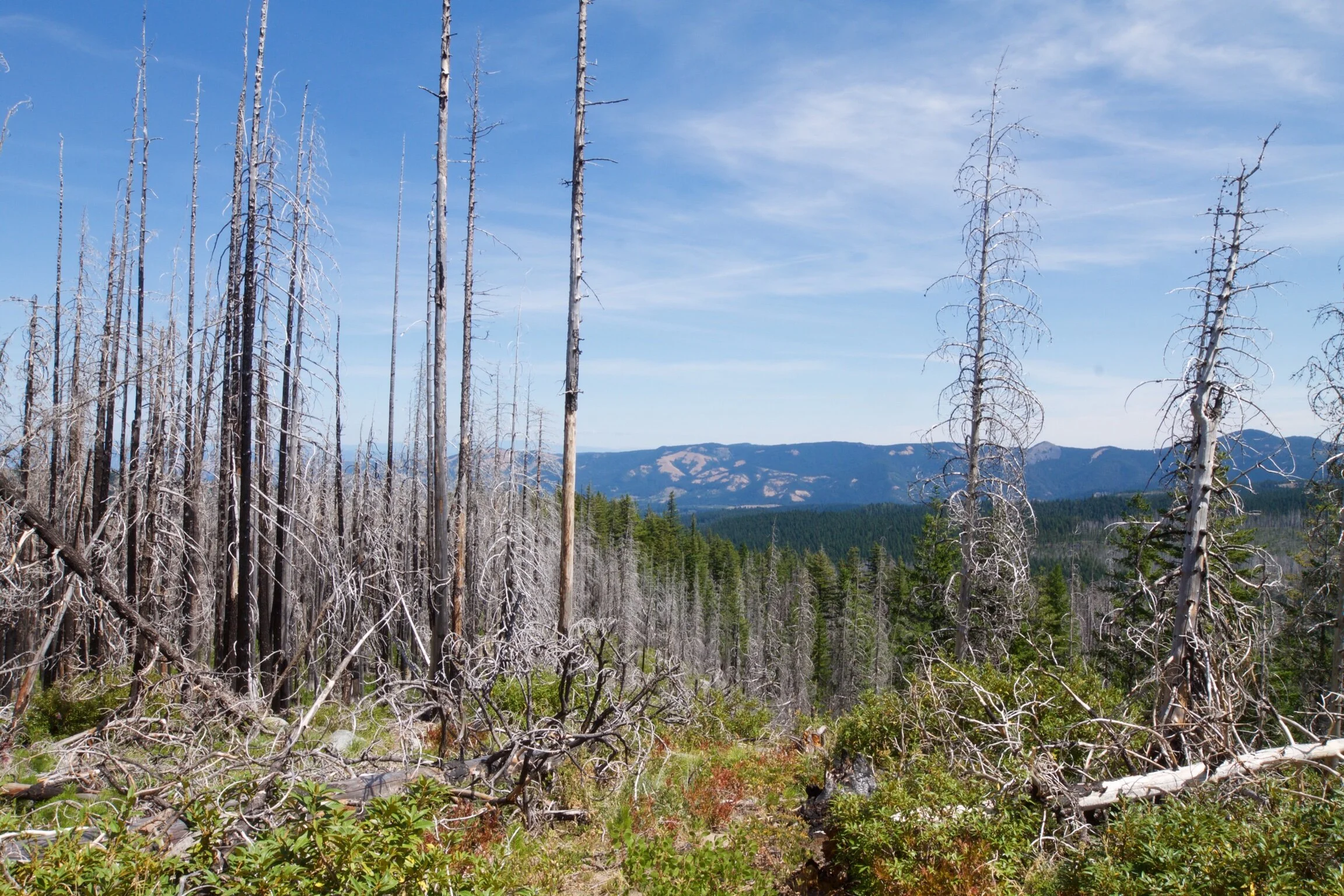
Maybe it’s the Detroit grit in me, but I definitely favor the jagged and charred Mount Hood over Mt. Rainier. Seattle vs. Portland is a different story tho…
4.8 miles in, the trail junctions with the Timberline Trail #600, which circles the base of Mt. Hood. With the afternoon sun blazing and no shade anywhere in sight. I turned around at Coe Overlook, just before the junction. There comes a point where you can only tolerate so much sweat and I had past that point about a mile ago… I snapped my last few shots of Mt. Hood and headed back.
TOTAL HIKE: 7.6 MILES | ELEVATION GAIN: 1,873 FT
Elk Cove Trail #631, NF-2840, Mt Hood, OR 97041
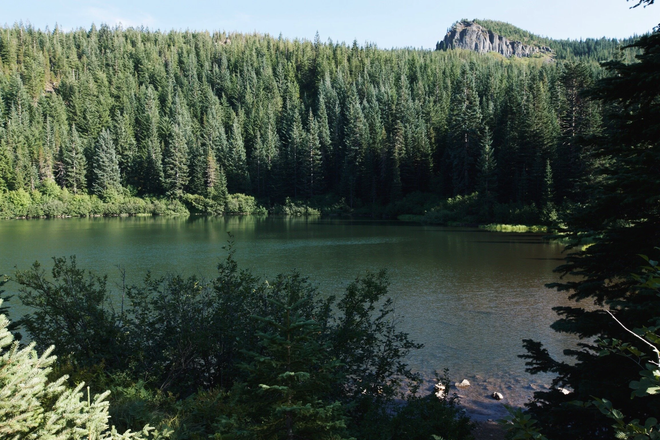
Mirror lake
In just under an hour we made it to Mirror Lake in Government Camp, OR. Mirror Lake trail is one of the most highly trafficked trails. It’s guaranteed you will play parking wars on the side of highway 26 trying to grab a spot in front of the trail head. If you lose the war, there is an overflow lot just north of the trail. - you’re welcome.
Mirror Lake Loop Trail | 3.7 Miles, Out & Back | Elevation Gain: 646 Feet | End Point: Mirror Lake | 2 Hours
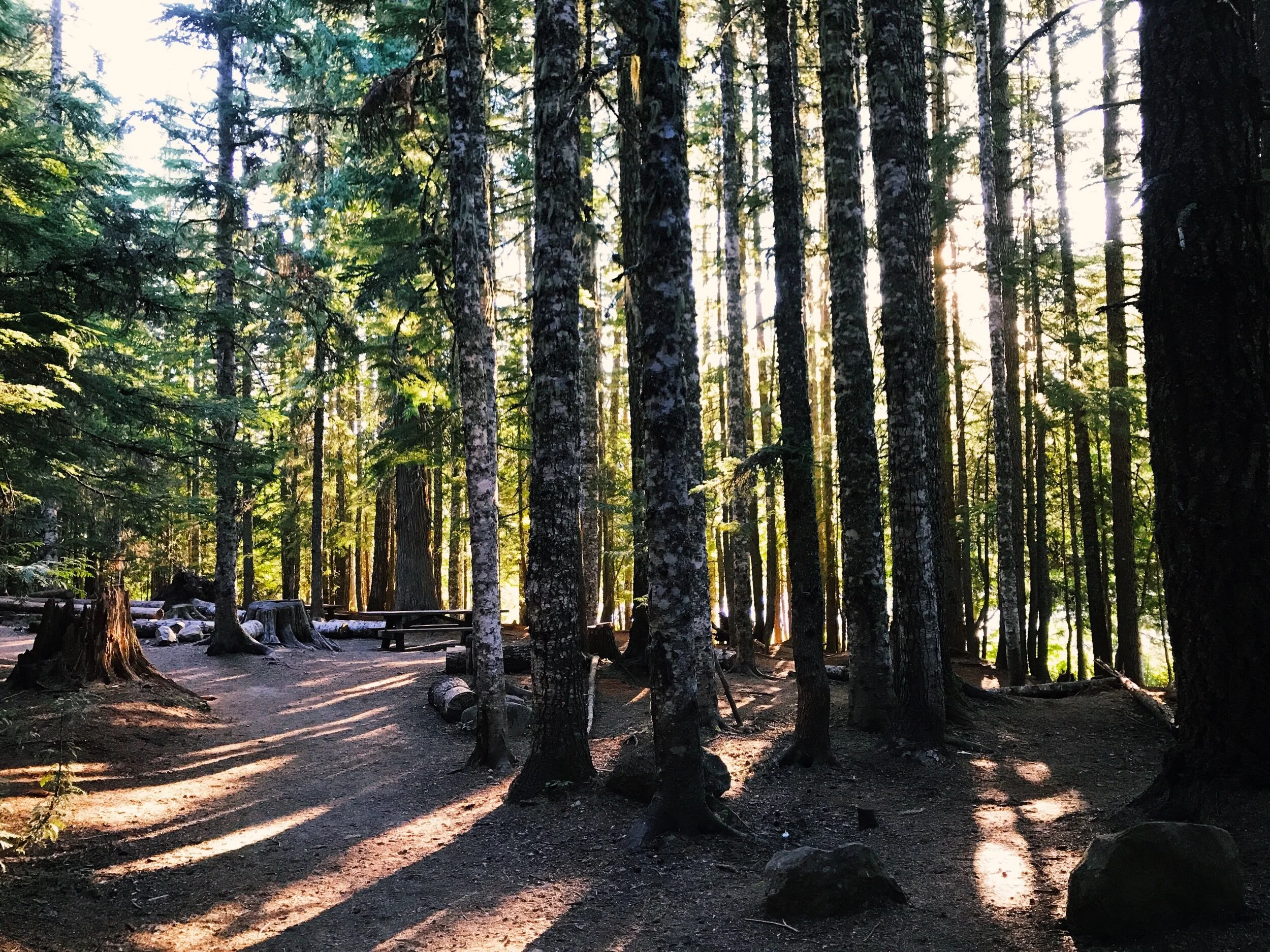
Mirror Lake trail starts in an old forest where switchbacks take you up 700 feet for what feels like an eternity, until you finally reach a clearing with boulders and crisp air. Looking out from here, the tops of trees span for miles.
The final stretch of the trail went through a field of what looked like pink cattails.
Mirror Lake Trail, Mt Hood Hwy, Government Camp, OR 97028
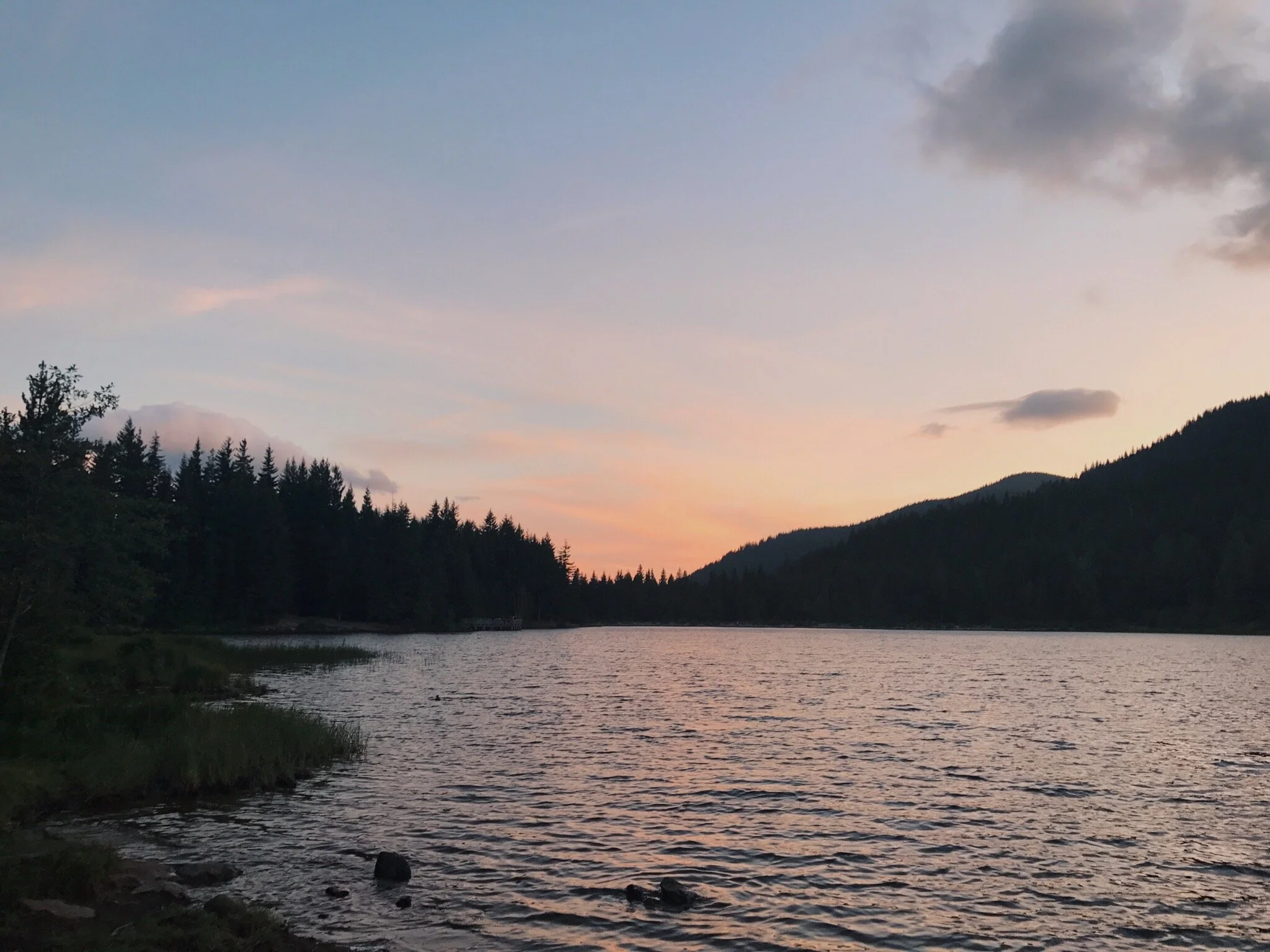
TRILLIUM LAKE
For the most breathtaking scenery in Oregon, I recommend heading to Trillium Lake. We scored the best picnic table; it was right on the water and offered an incredible view of Mount Hood.
Trillium Lake
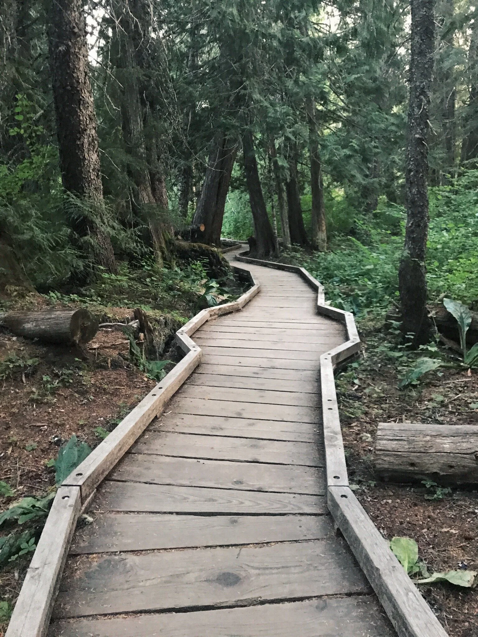
After dinner we walked the 2-mile Trillium Lake Loop Trail. Part of the trail snaked through the Trillium Lake Campground and other parts were on wooden boardwalks along the lake.
It seemed like every destination on this trip became my new favorite…
TOTAL DISTANCE HIKED: 11.7 | TOTAL MILES TRAVELED: 144
CUMULATIVE MILES HIKED: 27.3 | CUMULATIVE DISTANCE TRAVELED: 474 MILES