

Day 1: Mt. Rainier
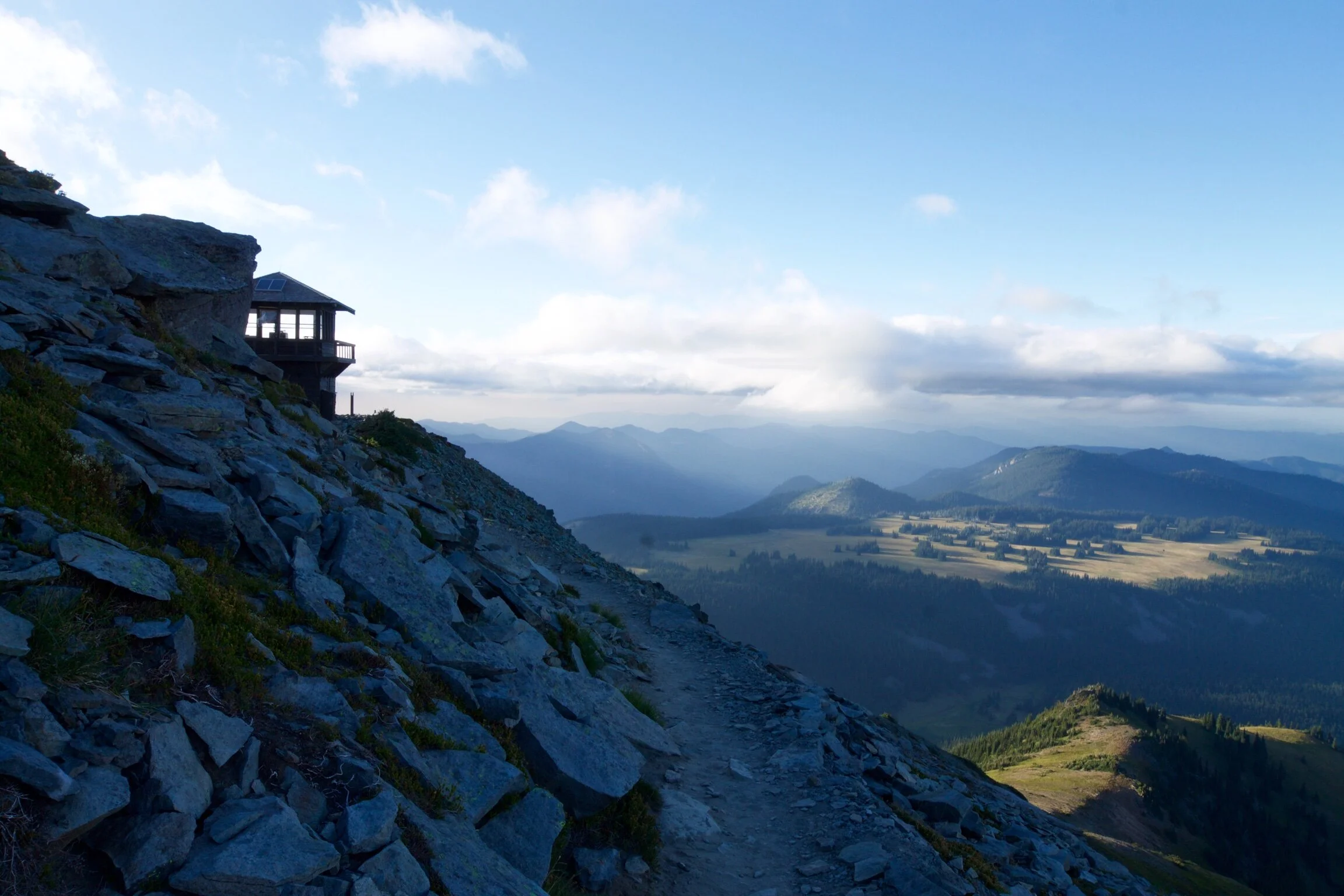
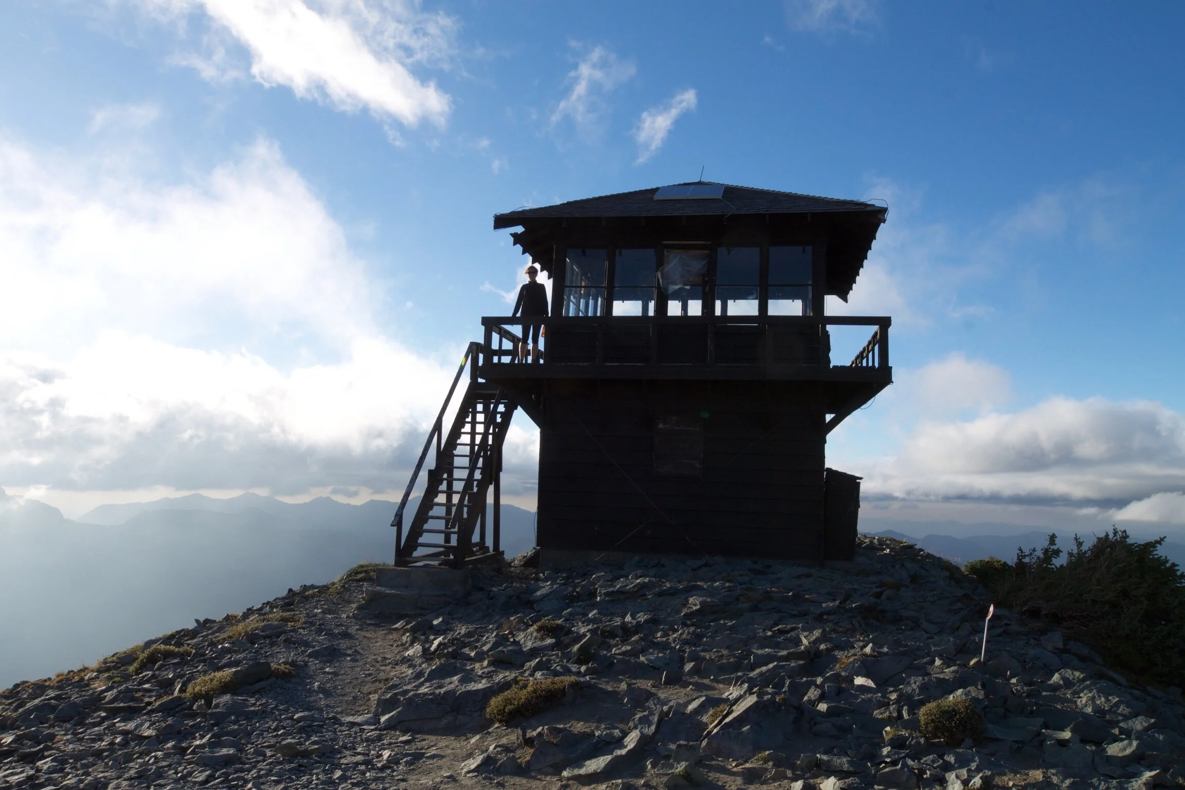
Mt. Fremont Lookout
From downtown Seattle, it takes roughly three hours to reach Mt. Rainier. I wanted to do an evening hike at Sunrise (the highest point at the park that can be reached by vehicle) before heading to our campground. On our way into the park we stopped at the ranger station and grabbed some maps. How crazy is this: It costs $35 for a yearly pass at the metro park in Rochester, MI, and it costs only $25 for a yearly pass to Mount Rainier, a National park! What is life these days!?
We took the White River Entrance into the park to the Sunrise parking lot. The hike we were doing was called the Sunrise Rim Trail: a 5.7 mile loop that gives panoramic views of Mount Rainier. Excited to get out of the car, I quickly packed my backpack and pulled out the map we had just picked up at the ranger station. I couldn’t find Sunrise Rim Trail anywhere on the map. Worried we would take an incorrect trail and possibly be stranded for more than 5.7 miles, we asked the staff at the visitor’s center. They said they had never heard of the Sunrise Rim Trail, which was total blasphemy to me, and talked us into taking the Mt. Fremont Lookout trail instead. I was so bummed, I read about the Sunrise Rim Trail on multiple blogs and the photos were stunning.
REROUTE: MT. FREMONT LOOKOUT TRAIL
5.6 miles, Out & Back | Highest elevation: 7,200 ft. | Hike time: 3hrs
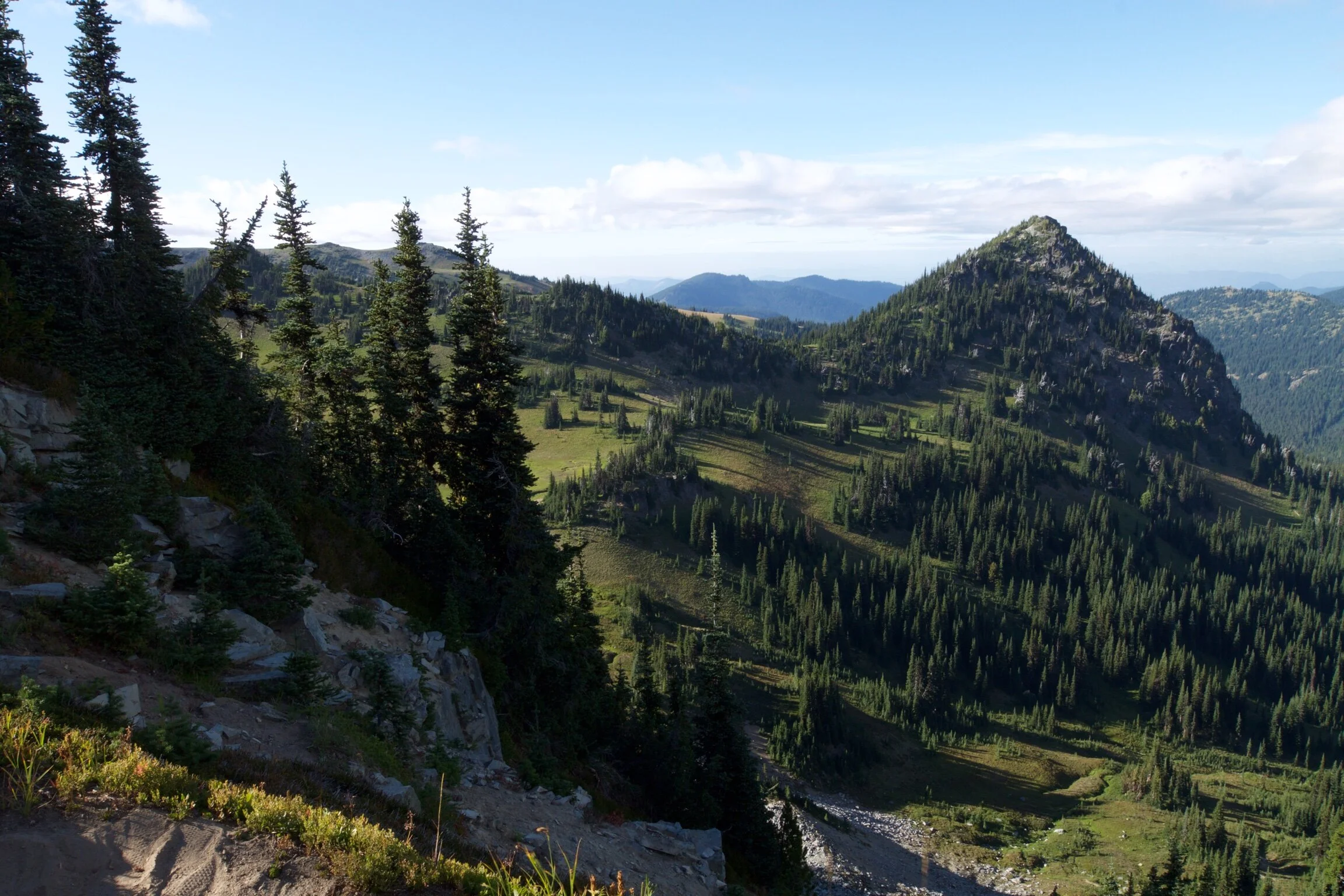
The trail picks up next to the visitor center and leads up to the Sourdough Ridge Trail. The elevation ramps up pretty quickly at the start of the hike. 10 minutes in and both of us are already taking off layers. As I reached the trail junction I looked back at the view and realized how much this place reminded me of Switzerland- the trees, the rolling hills, the wild flowers, the shape of the mountains. We joked about how Mt. Rainier is definitely missing some cows!
View from Sourdough Ridge Trail
The Sourdough Ridge Trail lends amazing views of Mt. Rainier and the valley below it. This was my favorite stretch of the hike. The view was so unreal, and the colors so vibrant.
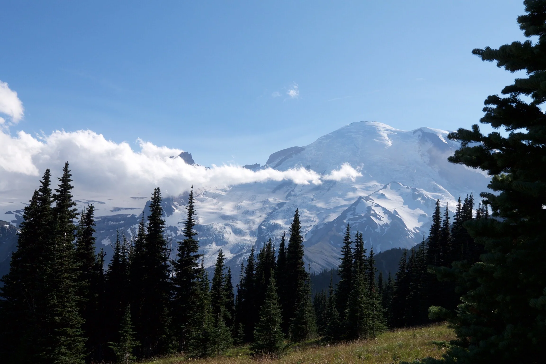
Tip of Mt. Rainier in the distance
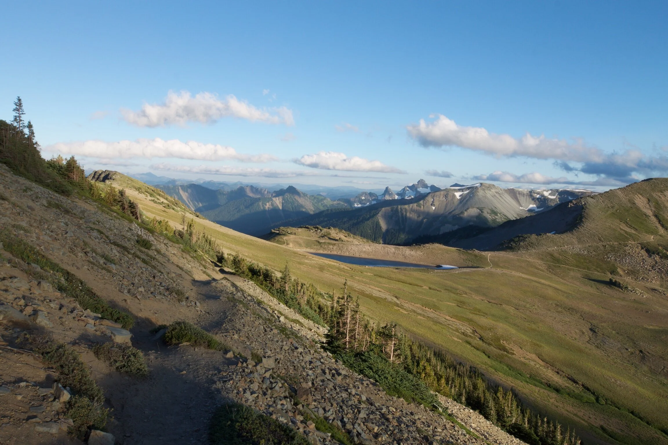
Continuing on, we headed west along the Burroughs Mountains and followed signs for Frozen Lake and Mount Fremont.
Burroughs Mountains
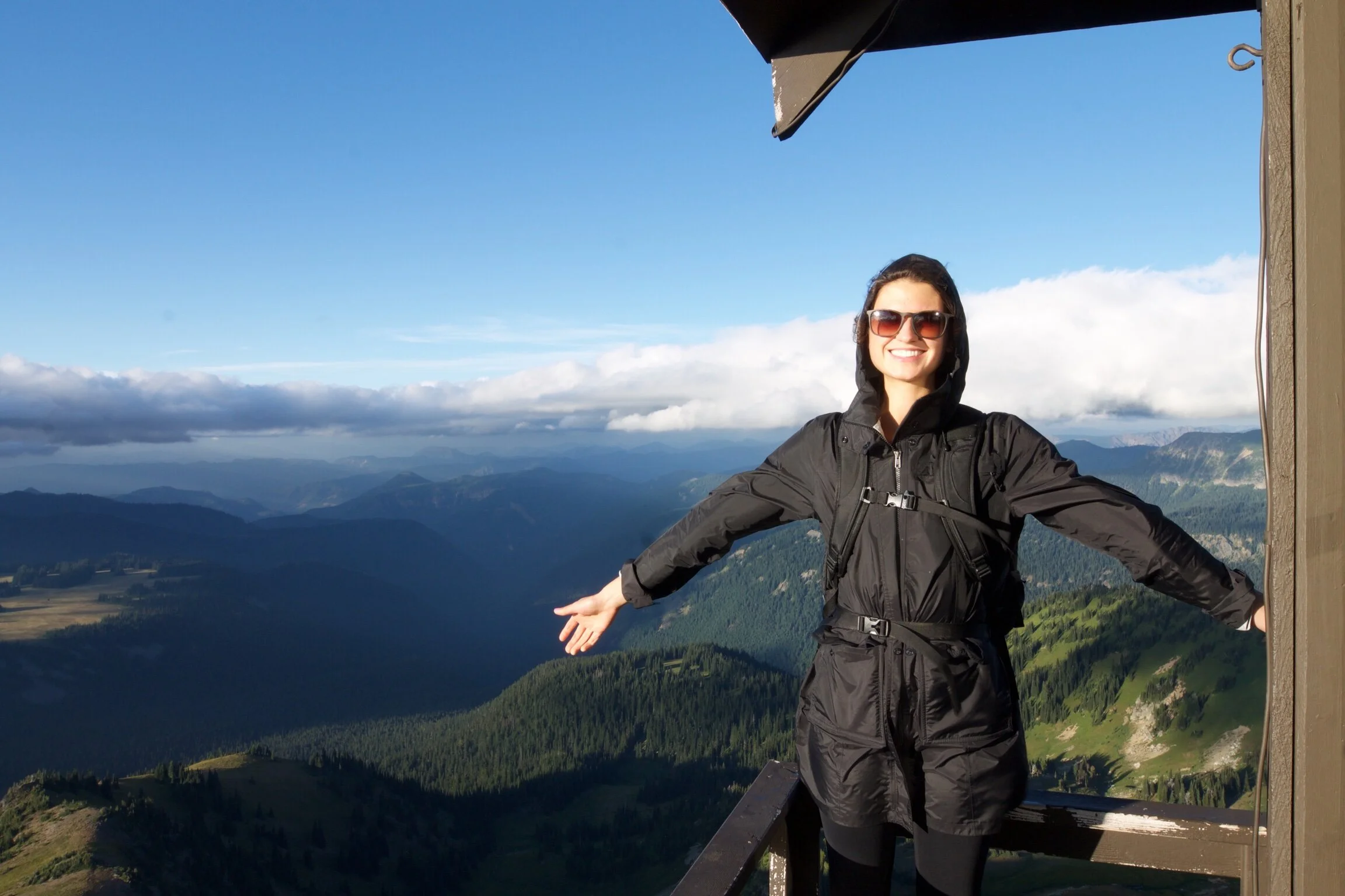
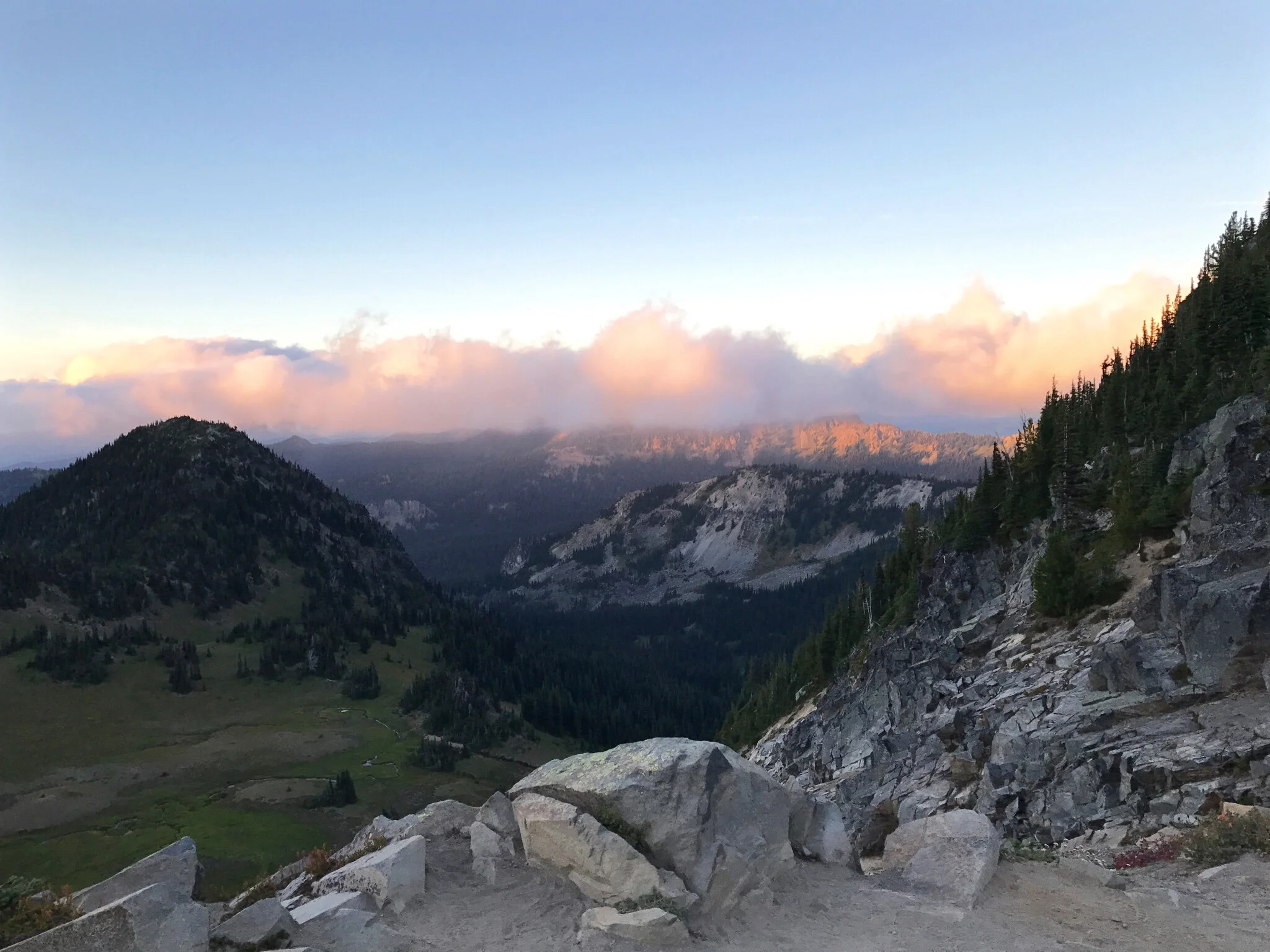
After we turned the corner to pass Frozen Lake, the terrain and weather changed drastically. What used to be a dirt trail was now a steep ridge with sharp rocks. The temperature dropped significantly and I could hardly hear anything through the strong winds. It felt like we entered another world.
Looking out towards Skyscraper Mountain
Despite the wind, the view was beyond incredible. I could see Grand Park, Skyscraper Mountain, and Berkeley Park. Whatever previous hiking plans I had no longer mattered at this point, as this hike was so beautiful I couldn’t imagine anything better.
Beautiful twilight hike back to the car.
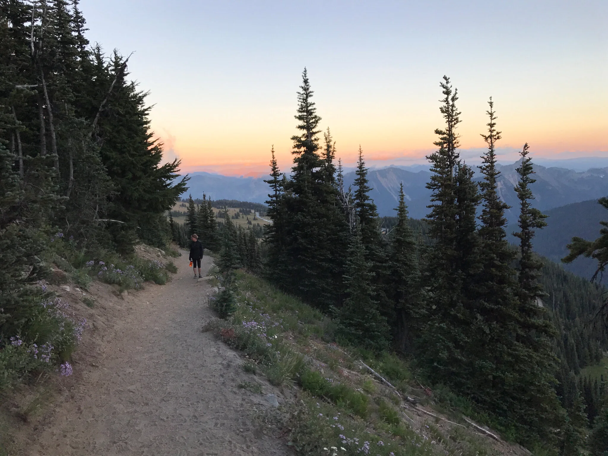
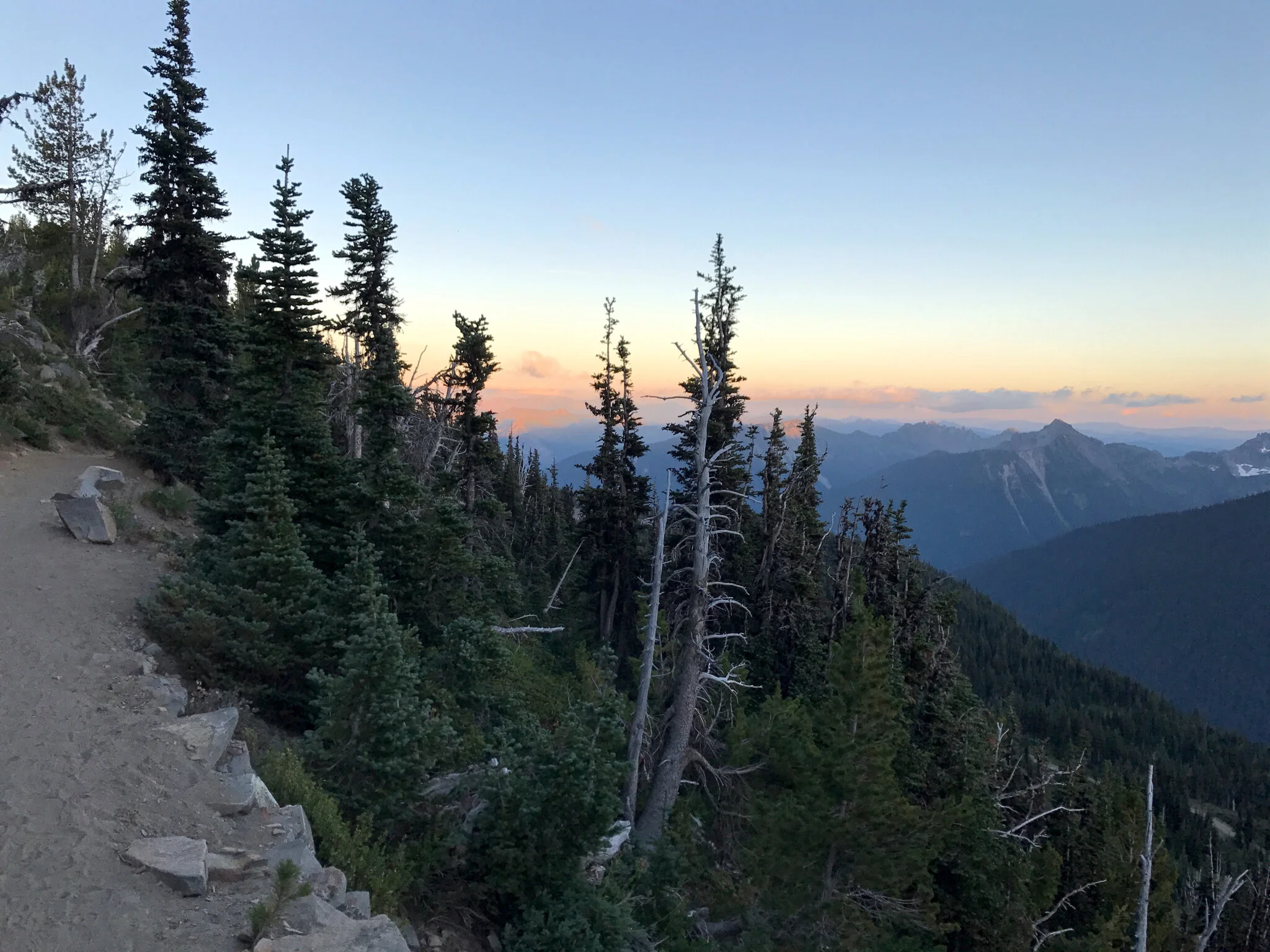
Sun setting on Sourdough Ridge Trail
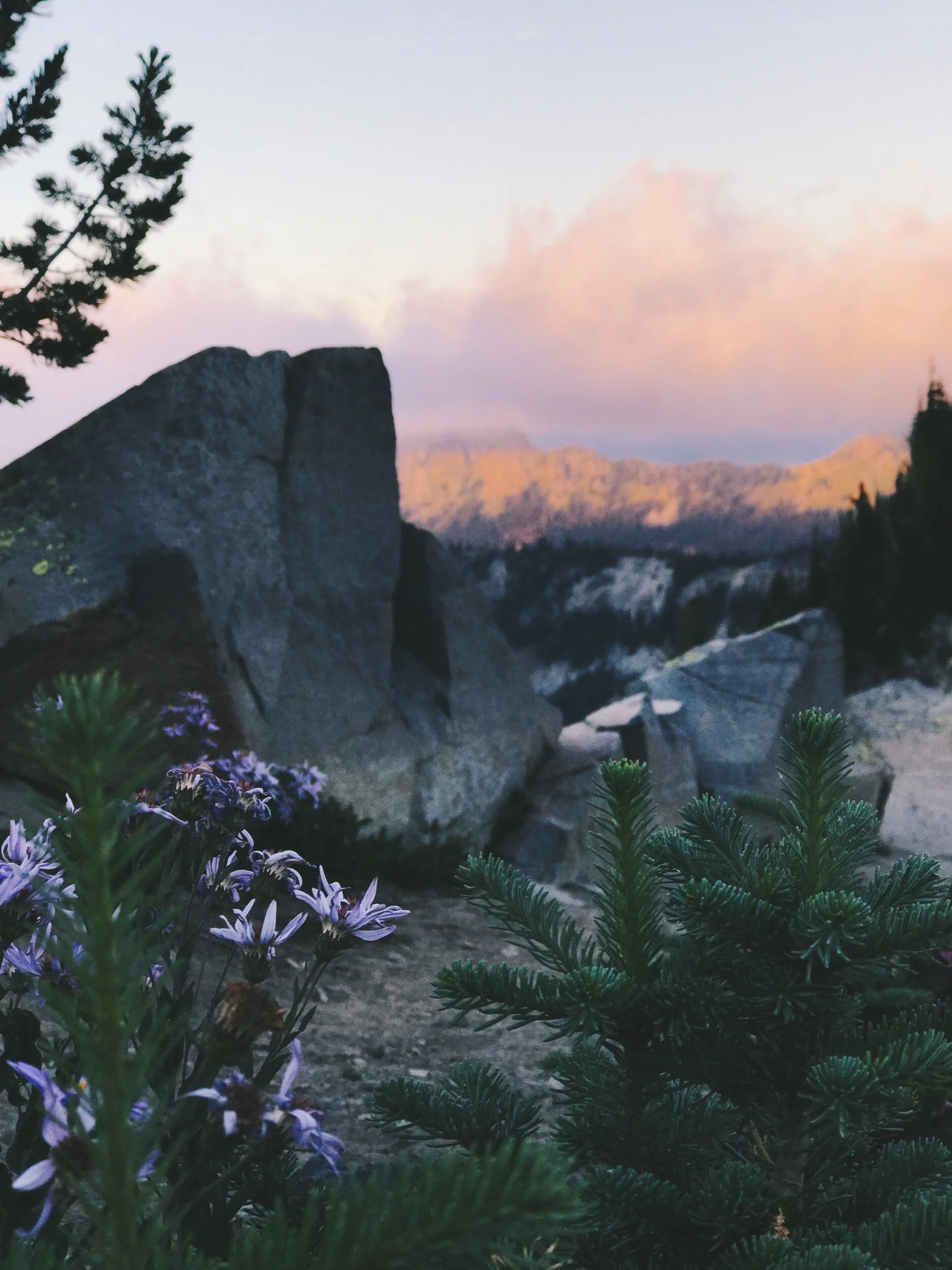
The highlight of the hike was at the end, just as the visitors center was coming into view; the reddish-pink clouds from the sunset were surrounding the peak of Mt. Rainier.
Mt Rainier at dusk
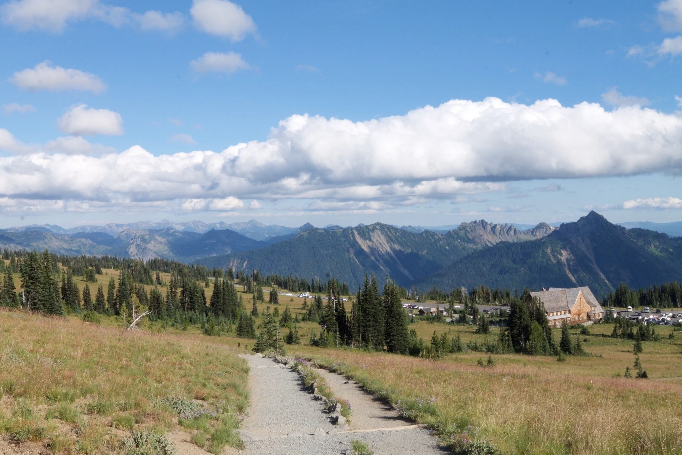
By the time we got to the car it was almost dark, and we still had to set up "camp". We arrived at Silver Springs Campground around 9:30 and played Tetris with the van until we got everything situated for sleeping. The stars out here are amazing. I made a mental note to rent a vehicle with a moon roof next time so I can fall asleep looking at the stars.
TOTAL DISTANCE HIKED: 5.6 MILES | TOTAL MILES TRAVELED: 118 MILES